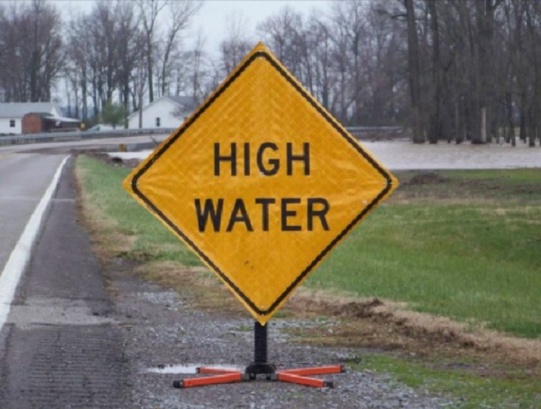
Kentucky Transportation Cabinet District 1 spokesman Keith Todd says crews are making rounds Thursday morning across the 12 counties in the district placing signage to alert motorists of water over the roadway.
As of 12:15 p.m. Thursday, Todd is reporting the following roads are closed, have water over the roads, or have reopened.
Crittenden County
KY 855 is closed at the 5-mile marker north of Frances between KY 70 and U.S. 60 – signs posted
KY 902 is closed at the 5-mile marker in the Dry Fork Creek area near the Crittenden-Caldwell County Line between Dycusburg and Fredonia – signs posted
Livingston County
U.S. 60 is OPEN between Blue Ridge Road and the High School just west of Smithland at the 10.8 to 11.5-mile marker
KY 453 is OPEN from the S Curves at the 13-mile marker to the South edge of Smithland at 15mm, including the Coons Chapel Road intersection
KY 453/Iuka Rd is OPEN near the 9-mile marker between Newbern Road and Friendship Baptist Church
KY 133/Lola Rd is OPEN at the 6.5 to 7-mile marker near Lick Skillet Rd Between Lola and Salem
KY 1433/Cedar Grove Road is OPEN at the 4 to 5-mile marker between Head Road and Lemon Landing Road
Lyon County
KY 1943 is closed at the 3.4mm at the Skinframe Creek Bridge – signs posted
Todd asks motorists to be aware of permanent “Road May Flood” signs at locations where flooding is likely. Extra caution is required if you plan to travel before daylight.
Todd also reminds drivers as little as 6 inches of running water can push a vehicle off the roadway. Remember, Turn Around – Don’t Drown.


